Last week I was out in Washington State for a medical waste management course and took advantage of the trip to enjoy a good trail run in. The last day of the course ended before noon, and we weren’t flying home until the next day, so we hit the road to Mount Rainier. Now normally I would have researched it to death and found the perfect little place for me to get a run in. I didn’t get the chance this trip, so we winged it.
Me and a coworker headed east, following signs for Mount Rainier and hoped for the best. We stopped for lunch and while sitting at the table, I attempted to look up hikes using www.everytrail.com to find something. I stumbled across a trail that looked suitable and we headed out. Nearly an hour into the drive, with about 15 miles to go, we hit dirt. The road turned into a dirt road the rest of the drive up, and I do mean up! The elevation was climbing faster than corn through a goose (ha!). We eventually reached the park, paid our entrance fee, and found a parking spot.
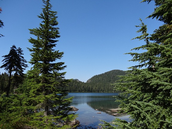
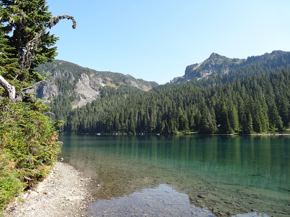
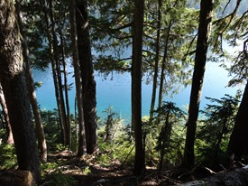
Immediately we were greeted with a picturesque mountain lake view of Mowich Lake.
The water was so calm, so clear, and so blue. There is nothing quite like a secluded mountain lake to run by.
Being that my coworker isn’t much for running, we had to work out the logistics. He chose to do a 2 hour out and back hike, while I did a run, meeting back at the car in two hours. Great! Plenty of time for a good run.
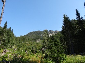
My initial plan was to run around the lake, up to a mountain pass, then continue up to a fire tower, hoping for a great view of Mount Rainier, we were on a smaller mountain about 15 miles away but trees and Fay Peak kept us from getting a good view of Mount Rainier.
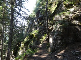
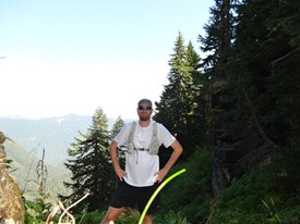
The trail was slightly larger than single track, more like double track. Plenty of ups and downs, with roots everywhere, it was similar to the Stone Mill 50 Mile course, only wider. Running along the lake shore provided awesome views and frequent picture stops. Soon, I left the comfort of the shoreline and headed up to Ipsut Pass where I took a short break for some photos. Along the way, I crossed paths with a group of hikers and one of them said “You know there is a speed limit.” Not in a mean way, but joking at how I was running and they were struggling with the hike. Ha!
My original plan to hit the fire tower was thwarted when I realized it was a rather large descent then ascent. I didn’t have the time or energy for strenuous climbing, so I headed back to the lake, intent on taking the trail the other direction in hopes of a good view of Mount Rainier.
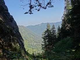
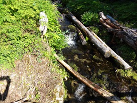
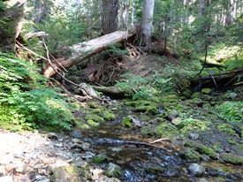
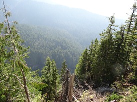
I passed my coworker and told him my intentions, then sped up a bit to make sure I had time. This other side had several mountain streams, and dense forest. Quite a few hikers were on this side, and several told me of a “decent” view of the mountain was a head. I kept going, destined to hit that view before I had to turn around. Finally, a hiker said I was close by, and the spot was just up some stairs. Yeah right! “some stairs” turned into a steep ascent of about 300 feet!
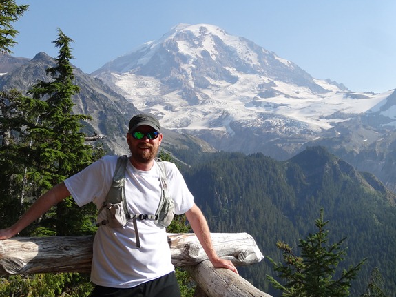
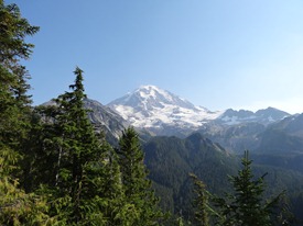
Finally, I hit made the spot. The view was SPECTACULAR! Well worth the long drive and trail run. I spent a good five minutes soaking it all in, then hit the ground running for our two hour rendezvous.
I felt bad that my coworker didn’t get to see the same view, but in fairness, I put in the effort, he didn’t. I didn’t have the heart to tell him it was a great view though.

