Sunday I had hill work on the agenda so I hit up a local mountain for some offroad hill training. It was a great run, or should I say, when I could run and not be held up by the terrain
Location: Catoctin Mountain Park is small mountain range in the north central area of Maryland. Approximately 60 miles northwest of Baltimore, and 60 miles north of Washington DC, it sits in a rural area of the state. The most well known aspect of the area is the Presidential retreat at Camp David, which lies on the western side of the mountains.
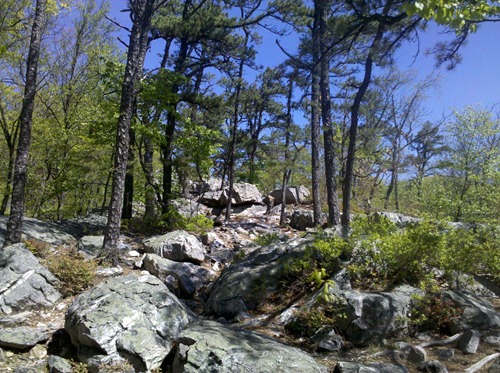
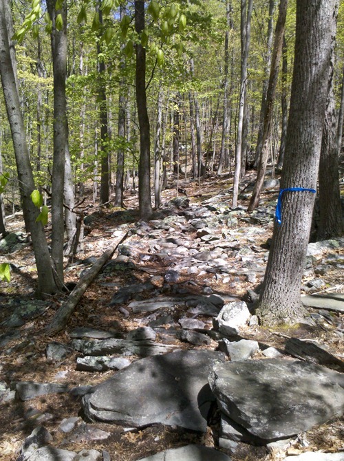
Route: There are several trail systems within the park. For my run, I initially chose to run the Cunningham Falls/Hog Rock/Blue Ridge Summit Loop, which would have made the run 5 miles. Mid-run I decided to add another trail to make it 8.58 miles total. The trails were very hilly (which I was seeking), but on top of that, approximately 60-70% of the trails were rough rocky terrain, making running difficult.
Many times, I felt like Frodo running down the hills of Amon Hen after Boromir tried to take The Ring from him (If your familiar with the movies, it’s the location at the end of The Fellowship of the Ring, where Boromir dies, and Frodo/Sam split from the group).
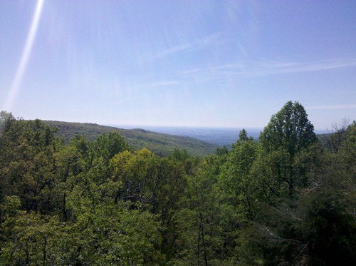
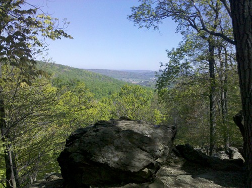
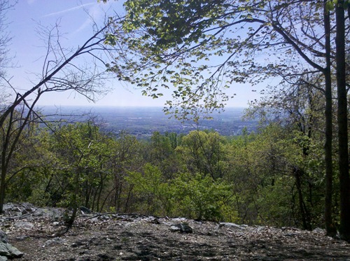
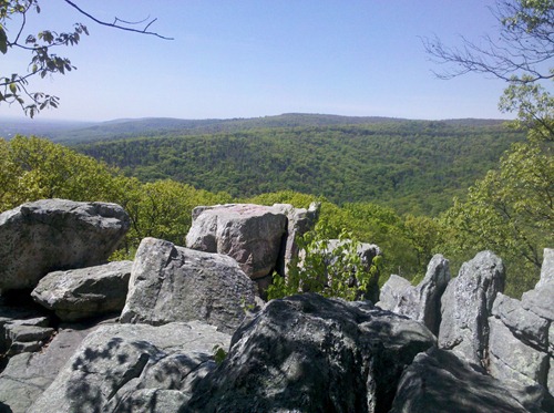
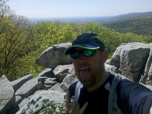
The coolest part of this run was reaching several summits and seeing the views. Some of them were spectacular. The photos below don’t do them justice. I really need to get a nice small camera for these runs. My cellphone camera just isn’t that good.
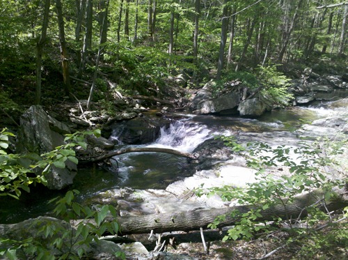
Another area of the park was Cunningham Falls, Maryland’s largest waterfall. It was pretty cool, but fairly crowded at the time, and I only spent about 2 minutes before heading up to the first summit.
The Experience: I have to say, this was a very difficult run. I was winded within the first couple of minutes and often throughout the route. I tried my best to maintain a 2:00/1:00 interval, but the terrain just was not cooperating. When I could, I’d run for more extended lengths, to try and make up for the constant stopping to “hike” an area because of all the rocks.
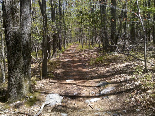
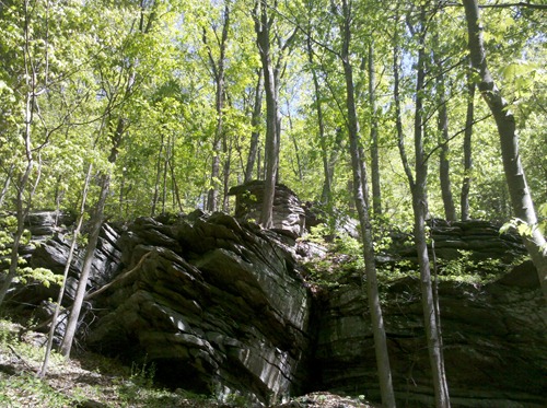
*Check out the last picture for an idea of how rocky I mean!
I would love to go back and spend a full day there hiking and taking it all in. I don’t think this one will be a family hike though. We could possibly do the falls/first summit and back, but I’m sure Connor would be complaining and saying he’s “tired” as that’s his favorite phrase these days for when he doesn’t want to do something.
The weather was wonderfully cool in the morning and warmed up to a nice breeze, making the run that much more enjoyable. Overall, this was a great, albeit grueling, run. I don’t think I’ll be coming back for hill training, though. Entirely too rocky for trainings.
Ok, now for the pictures!
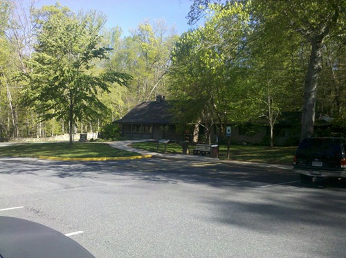
The Visitor’s Center.
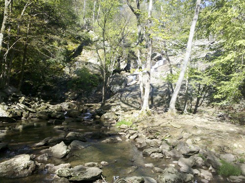
Part of Cuningham Falls.
Cunningham Falls in the background. It was much cooler in person.
Hog Rock Summit.
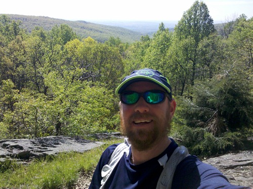
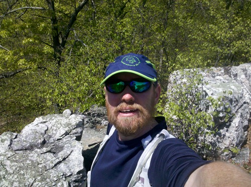
Me at the summit.
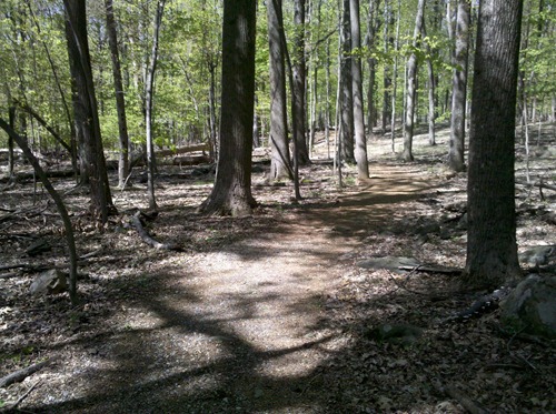
Finally! some terrain I can really run on!
Blue Ridge Summit Overlook
More runnable paths. YAY!
Thurmont Vista
Wolf Rock
On top of Wolf Rock
Chimney Rock
This run is making me crazy!
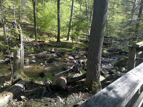
Along Hunting Creek
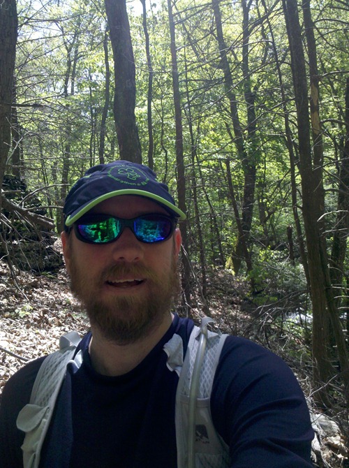
About 7.5 miles in and still surviving.
Cool rock formations
Ok, this was the trail for most of the last mile, and there were many places similar throughout the run. How in the hell are you supposed to actually run through something like this?

2 comments:
What a gorgeous place! But I'm with you - not sure how you'd run some of that without killing yourself :)
Hope the gout is feeling better soon...
Great photos! My friend is a park ranger up there!
Post a Comment